
Mountaintop Removal Maps and GIS Resources
Quick Reference
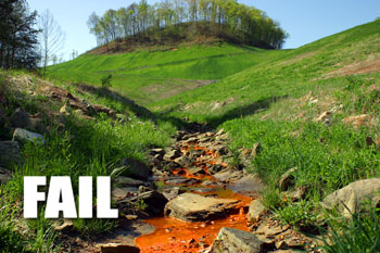
Mountaintop removal coal mining is changing the American landscape on a scale that is hard to comprehend unless you see it from the air. Anyone who has ever flown in a small aircraft over southern West Virginia or eastern Kentucky will never forget the experience of seeing the massive scale of destruction – mountain after mountain blown up and dumped into valleys as far as the eye can see.
Appalachian people working to save their communities long dreamed of a way to fly reporters, decision-makers, and thousands of Americans over the Appalachian coalfields to see this destruction first hand. The collection of mapping resources below are our best attempts to approximate that tour.
|
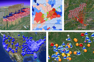 GIS Download Central
|
|||
| Details | Downloads
2009 Extent of Mining Survey 2010 Reclamation Survey |
|
|||
| Details | Downloads
|
|
|||
| Details | Downloads
|
